
Collection Development and Strategies Department
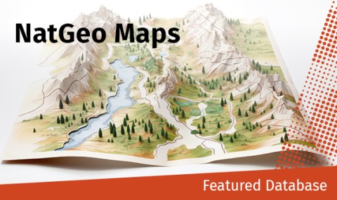
Featured Database: The National Geographic Map Database
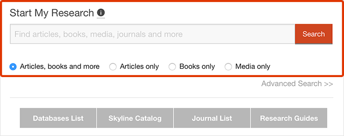
You can use databases to easily find organized collections of articles, journals, news, streaming videos, primary sources, data, and more!
Here’s one of our most unique databases:
What’s in it?
The National Geologic Map Database contains digital copies of recent and historic geologic maps of the United States and its territories. Features include an advanced search, an index of geologic terms, information about current geologic mapping projects, and MapView, a map-based visual browsing interface.
Why should you use it?
You can use The National Geologic Map Database to find maps, topographic renderings, and resources for geologic reports.
Who should use it?
The National Geologic Map Database is great for researchers looking for templates to apply their data, patrons interested in historic renderings of locations, and geography and geology students!
Why use a database?
When you use a specific database, rather than a search engine or discovery tool, you often can find more relevant sources. For example, subject databases include sources about that subject only, rather than a general search engine or discovery tool that includes information about everything. This way you don’t have to wade through thousands of irrelevant results!
Want more databases?
Browse or search our Databases List!
If you have questions about this database or others, please see our Ask Us page.